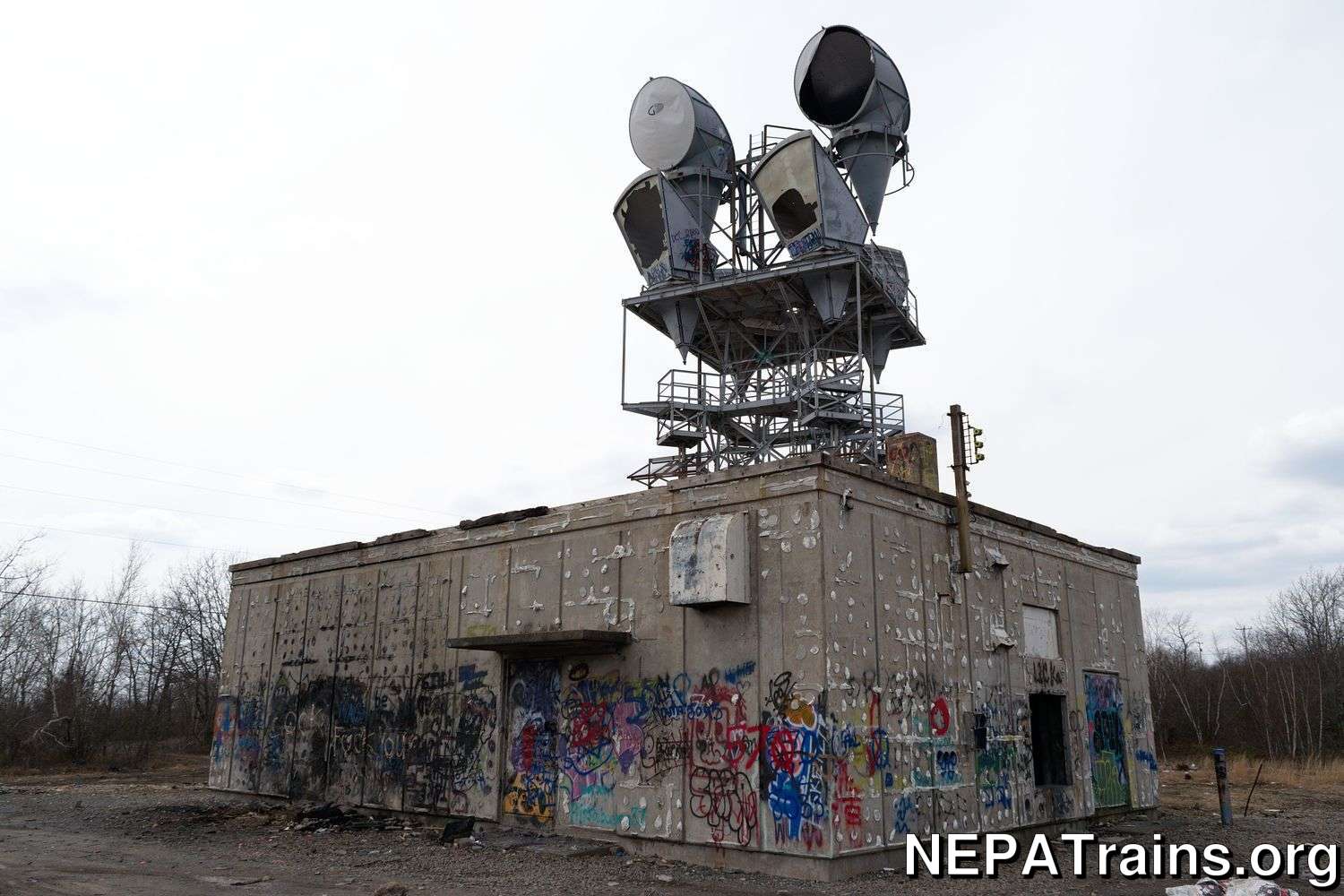
Scranton Long Lines Tower
Basic
Region: Scranton, PALocation
Type: AT&T Long Lines facilityStatus: Demolished/Destroyed
Parent: AT&T Long Lines
Opened: 1970
Closed: 2000
Location:
Click map to zoom/pan.
Tower Structure
Structure Type: FreestandingUse Type: Long Lines
Height (AGL): 83 feet
Physical Description
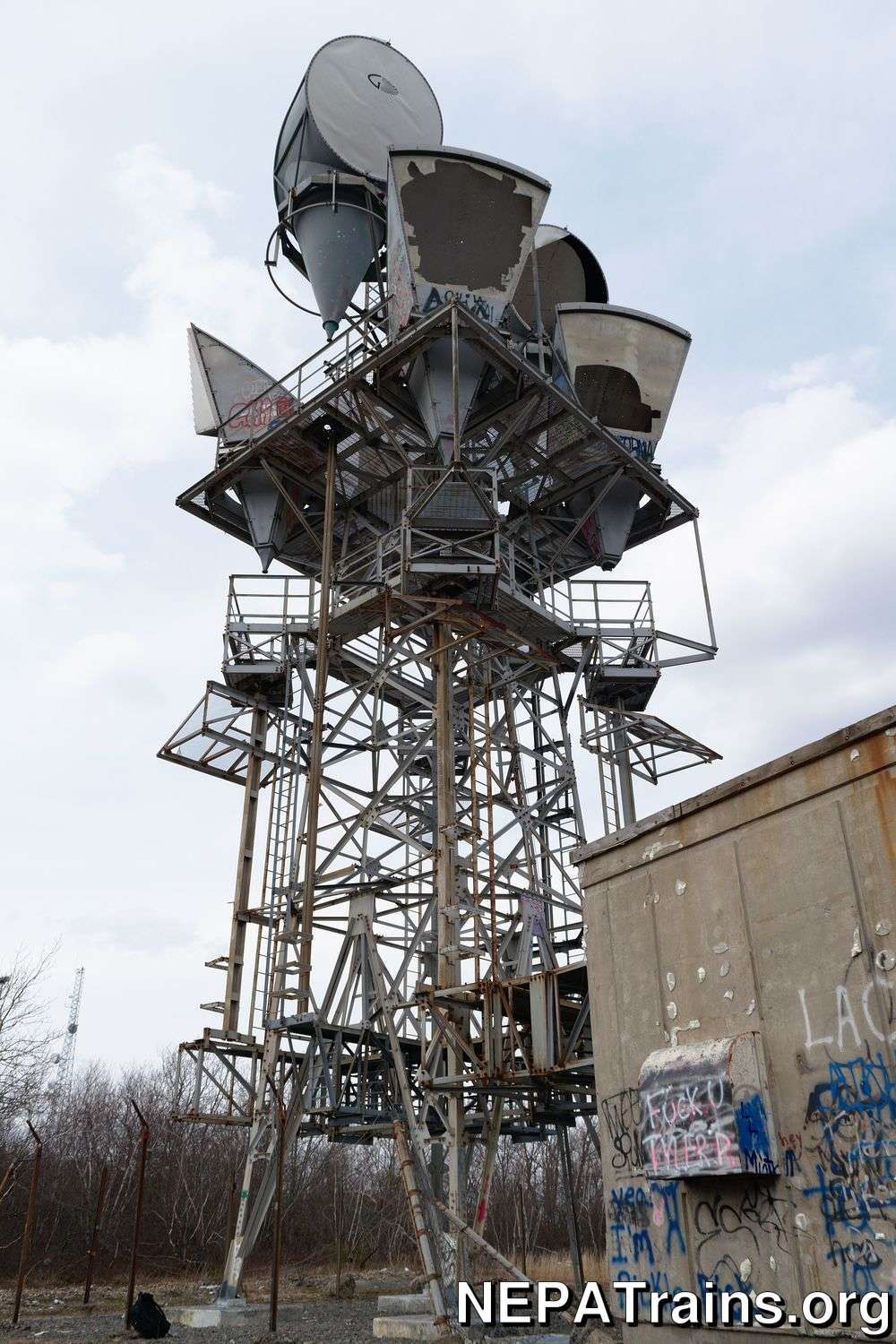
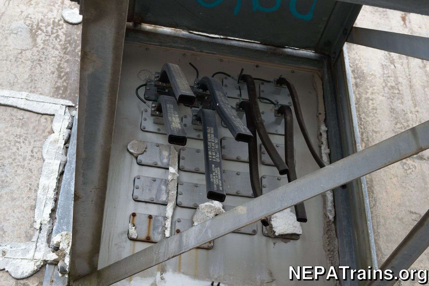
This is an AT&T Long Lines tower built to service the Scranton area. It is 83 feet tall, and has 6 antennas. The lower level consists of 4 Western Electric style C band horn reflector antennas, and the top level consists of 2 Gabriel antennas. The tower is accompanied by a medium sized utility building. No nuclear bunker is known for this location. As evident by the picture below of the waveguides, there used to be at least 4 additional waveguides at a frequency higher than the C band. From this we can infer that at one point there were more antennas than what’s on the tower now. This has been confirmed (read below). The size of the antennas cannot be conveyed by photos alone. Just the Gabriel antennas alone are 15 feet tall!
History and Operations
AT&T bought the land this tower is on from Ransom in 1966. Shortly after, the tower was built around 1970, with the facility name RANSOM, PA, and the callsign KVU42 and WLC985. Initially, the tower did not have the top two Gabirel style antennas; they were added shortly after the initial construction. The tower had confirmed links to a facility in [[ Scranton // scranton long lines center ]] (city), [[ Beaumont // Beaumont Long Lines Tower ]], and South Sterling.
In 1974, the facility changed the polarization of its S-band system from horizontal to vertical. From this we can gather likely that not all of these services were operational at the same time, and that the tower underwent a major change to its broadcasting systems sometime during its life. The tower began its life with an S-band system, and sometime after 1974 changed to the standard Long Lines C-band system. An additional X-band system was installed at some point, which can no longer be seen. The X-band system was likely installed in its later life, as they were likely to serve a digital radio link from Scranton to Allentown (Topton). According to current FCC records, all “recent” transmissions were on the C and X bands, all in FXO mode.
The licenses for this facility were canceled in 2000, and the facility has seen a sharp decline lasting until its eventual demolition in March 2020. Demolition pictures are below.
Final Note as of 2019
This location is abandoned, used frequently as a partying/drinking/shooting spot, and a prime example for why this site does not disclose the locations of abandoned buildings. The utility building has had its styrofoam insulation shot and ripped off, the wooden roof ripped off, parts of the tower floor removed, and burned, and the building itself set on fire an uncountable amount of times.
Demolition (March 2020)
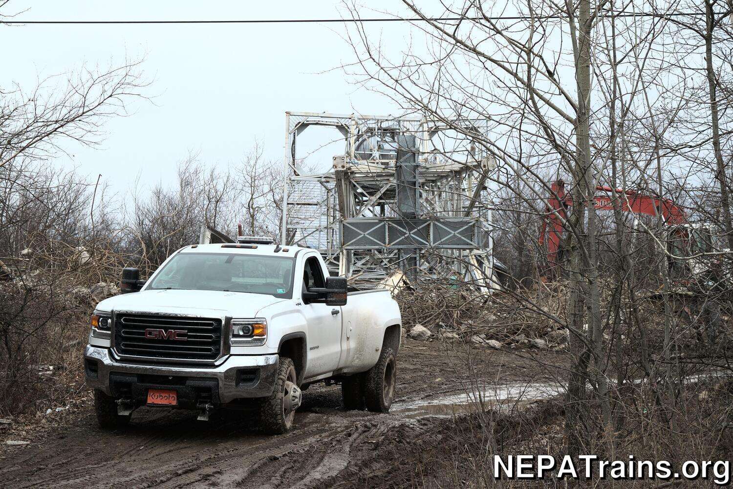
The time has finally come for the tower to fall. It’s unclear why, either because of liability or the desire to build a new tower, but the tower and utility building have been demolished. The utility building appears to have been demolished with the use of excavators. The tower was unbolted from its foundation and pulled over with steel cables. Pictures are below.
I managed to get something noteworthy from this location, the [[ Western Electric Flexible Waveguide ]].
Want a Bell Telephone or Bell Laboratoies shirt of your own? Support NEPA Trains and check out the shop!
Elk Mountain Winter View from Scranton Long Lines Tower

by NEPATrains.org - CC BY-SA 4.0
This is a photo of Elk Mountain in the winter from the [[ Scranton Long Lines Tower ]].
[more info]Looking Up at the Scranton Long Lines Tower
by NEPATrains.org - CC BY-SA 4.0
The Scranton Long Lines tower in whole.
[more info]Scranton Long Lines Tower Clarks Summit/Bell Mountain View

by NEPATrains.org - CC BY-SA 4.0
The northeast view from the top of the [[ Scranton Long Lines Tower ]]. To the left we can see Clarks Summit. The mountain in the distance is Bell Mountain, and to the very right we can see Dickson City.
[more info]Scranton Long Lines Tower Cut Waveguides
by NEPATrains.org - CC BY-SA 4.0
This is a photo of the cut [[ waveguides // Western Electric Flexible Waveguide ]] at the [[ Scranton Long Lines Tower ]].
[more info]Scranton Long Lines Tower Gabriel Antenna Platform
by NEPATrains.org - CC BY-SA 4.0
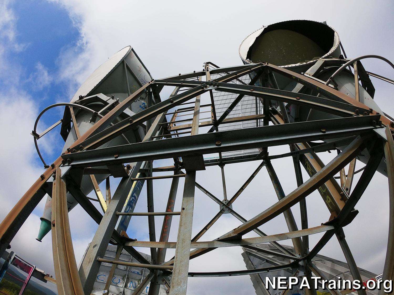
The Gabriel C-Band Horn Reflector Antenna platform on the [[ Scranton Long Lines Tower ]]. This platform was used to service the two Gabriel antennas pictured, and stands about 25 feet above the main platform. A vandal removed one of the floor tiles on this platform.
[more info]Scranton Long Lines Tower - Going Up
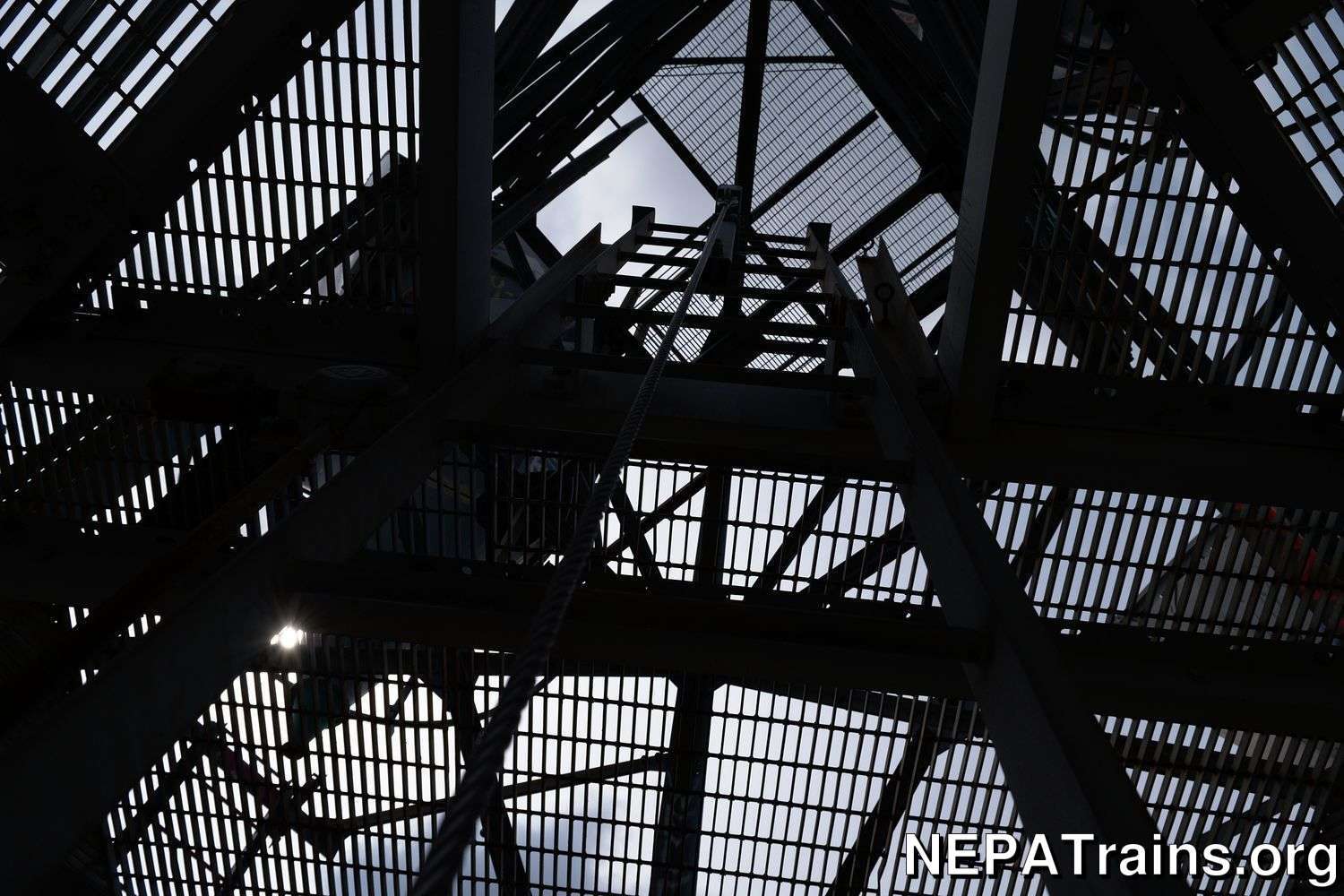
by NEPATrains.org - CC BY-SA 4.0
Climbing the ladder to the top of the [[ Scranton Long Lines Tower ]].
[more info]Scranton Long Lines Tower - Inside Building 2016 - Electrical Equipment
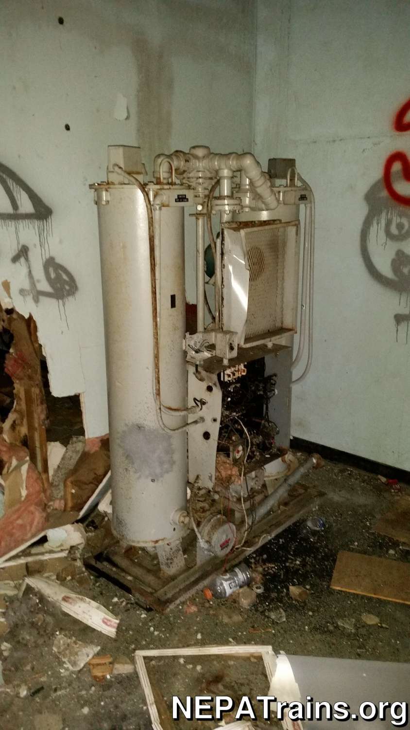
by NEPATrains.org - CC BY-SA 4.0
Here is a photo of long-gone electrical equipment inside the utility building of the [[ Scranton Long Lines Tower ]]. This equipment dehumidified and pressurized the waveguides. It used a 2-tank configuration to allow one tank to pressurize the waveguides while the other one was dehumidified.
[more info]Scranton Long Lines Tower - Inside Building 2016 - Equipment 1
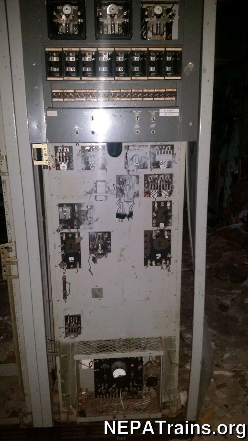
by NEPATrains.org - CC BY-SA 4.0
A photo of phone/radio equipment in the [[ Scranton Long Lines Tower ]].
[more info]Scranton Long Lines Tower - Inside Building 2016 - Equipment 2
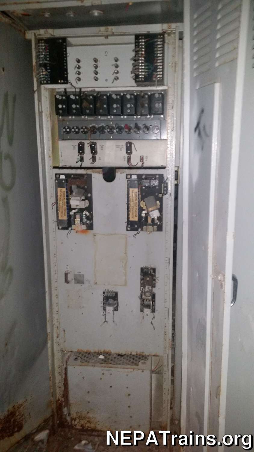
by NEPATrains.org - CC BY-SA 4.0
More equipment in the [[ Scranton Long Lines Tower ]].
[more info]Scranton Long Lines Tower - Inside Building 2016
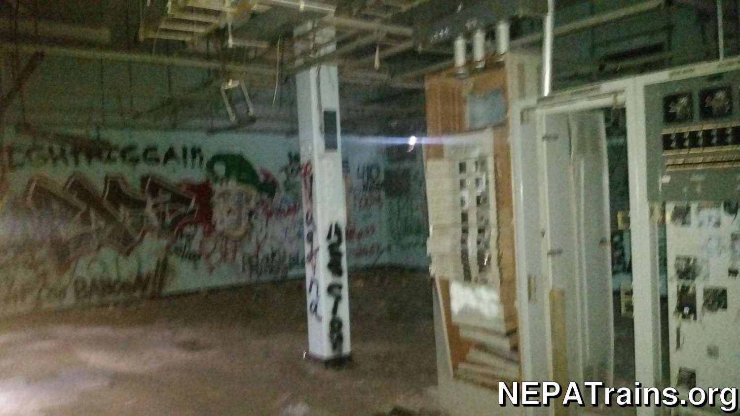
by NEPATrains.org - CC BY-SA 4.0
This is a photo of the remaining equipment in the [[ Scranton Long Lines Tower ]] utility building in 2016. This is the earliest picture I have of the inside of the utility building.
Pre-photography skills, obviously.
[more info]Scranton Long Lines Tower - Inside Building 2019
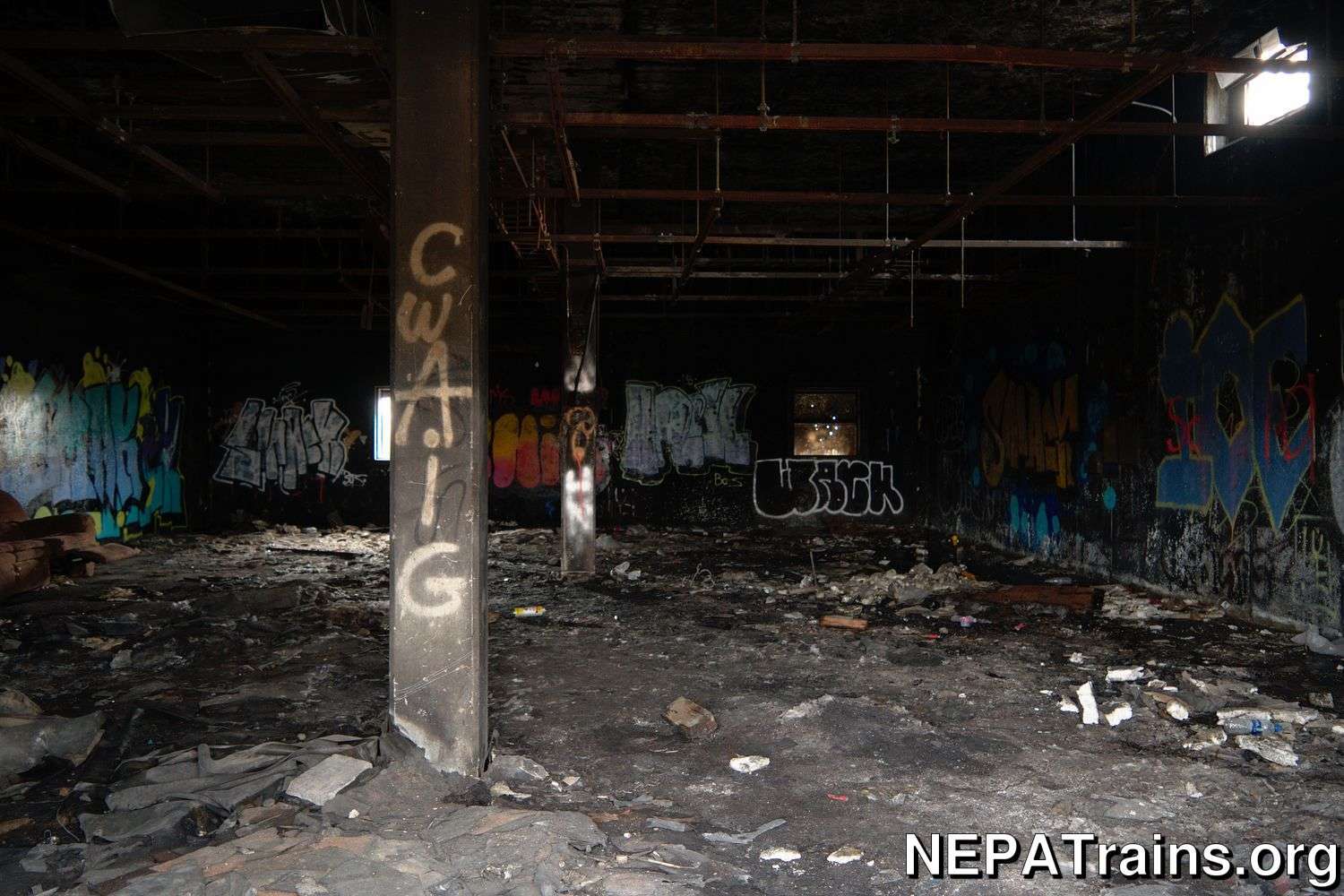
by NEPATrains.org - CC BY-SA 4.0
This is a photo of the damage inside the [[ Scranton Long Lines Tower ]] utility building as of 2019.
[more info]Scranton Long Lines Tower Main Floor
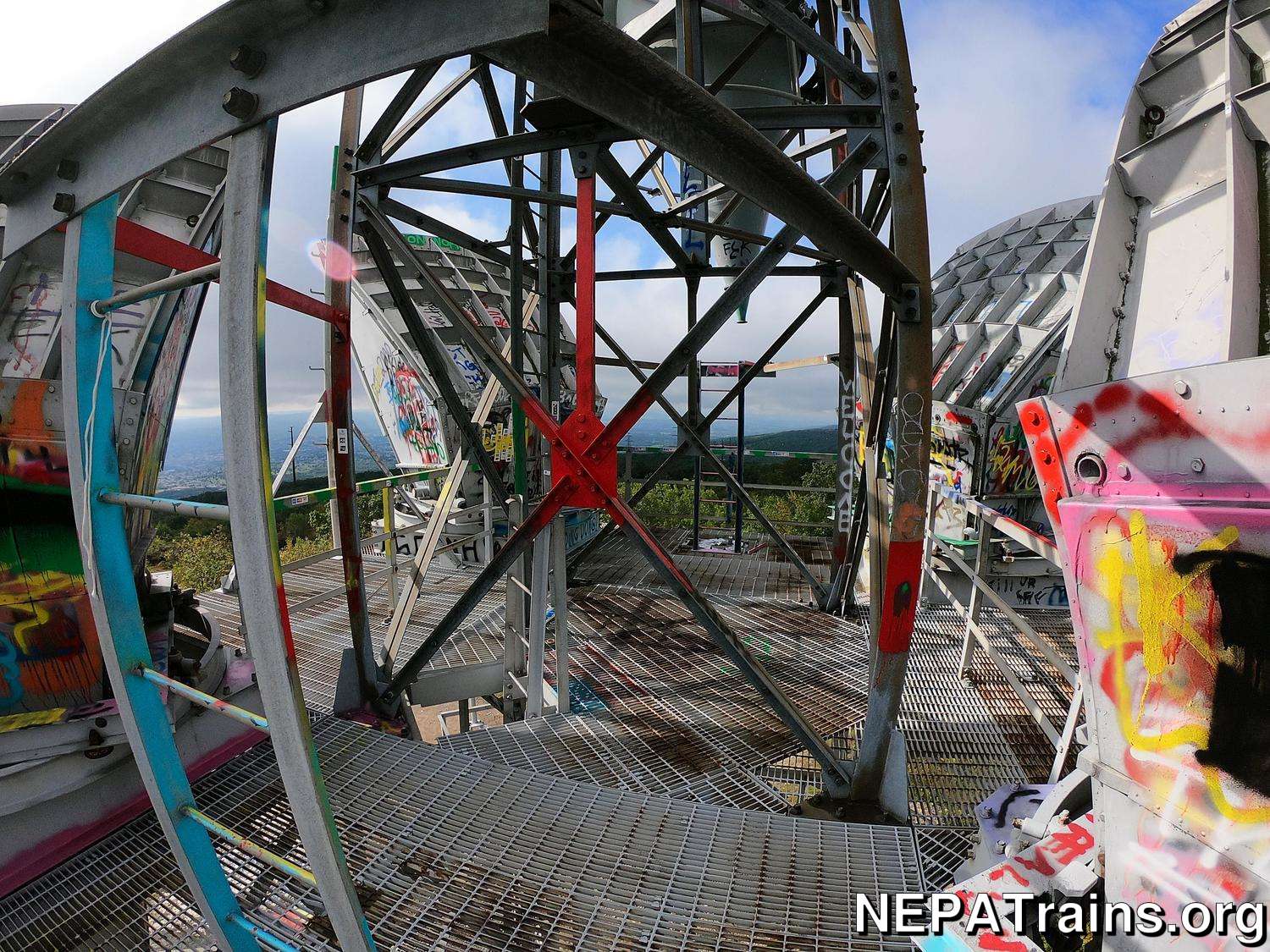
by NEPATrains.org - CC BY-SA 4.0
The main floor of the [[ Scranton Long Lines Tower ]]. In this photo, you can see the upper portions of the Western Electric C-Band Horn Reflector Antennas.
[more info]Scranton Long Lines Tower Missing Floor Tile
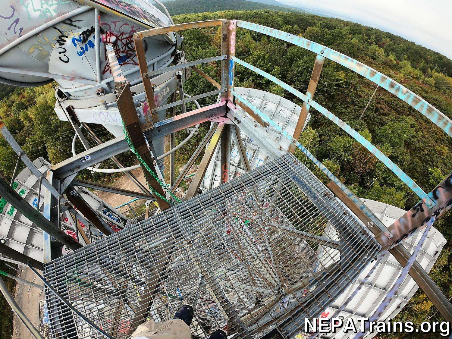
by NEPATrains.org - CC BY-SA 4.0
A missing floor tile on the [[ Scranton Long Lines Tower ]].
[more info]Top of Western Electric Horn Antenna

by NEPATrains.org - All rights reserved
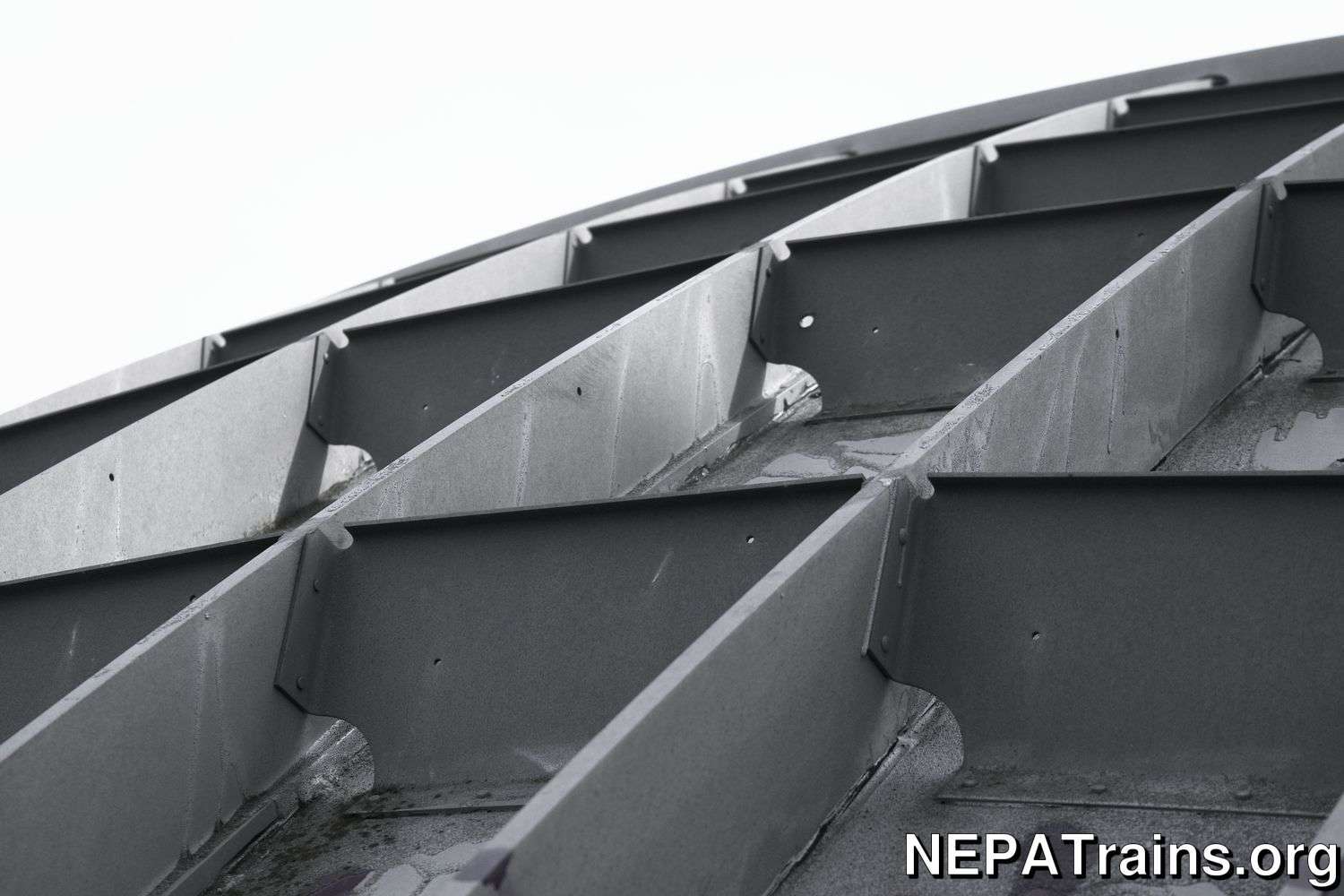
This is a photo of the top of a Western Electric C band horn reflector antenna.
[more info]Scranton Long Lines Tower Demolition Site
by NEPATrains.org - CC BY-SA 4.0
The active demo site at the [[ Scranton Long Lines Tower ]]. Behind the truck, you can see the tower turned over on its side. To the right of the tower is where the utility building used to be.
[more info]Scranton Long Lines Tower Tower on Ground - Midsection
by NEPATrains.org - CC BY-SA 4.0
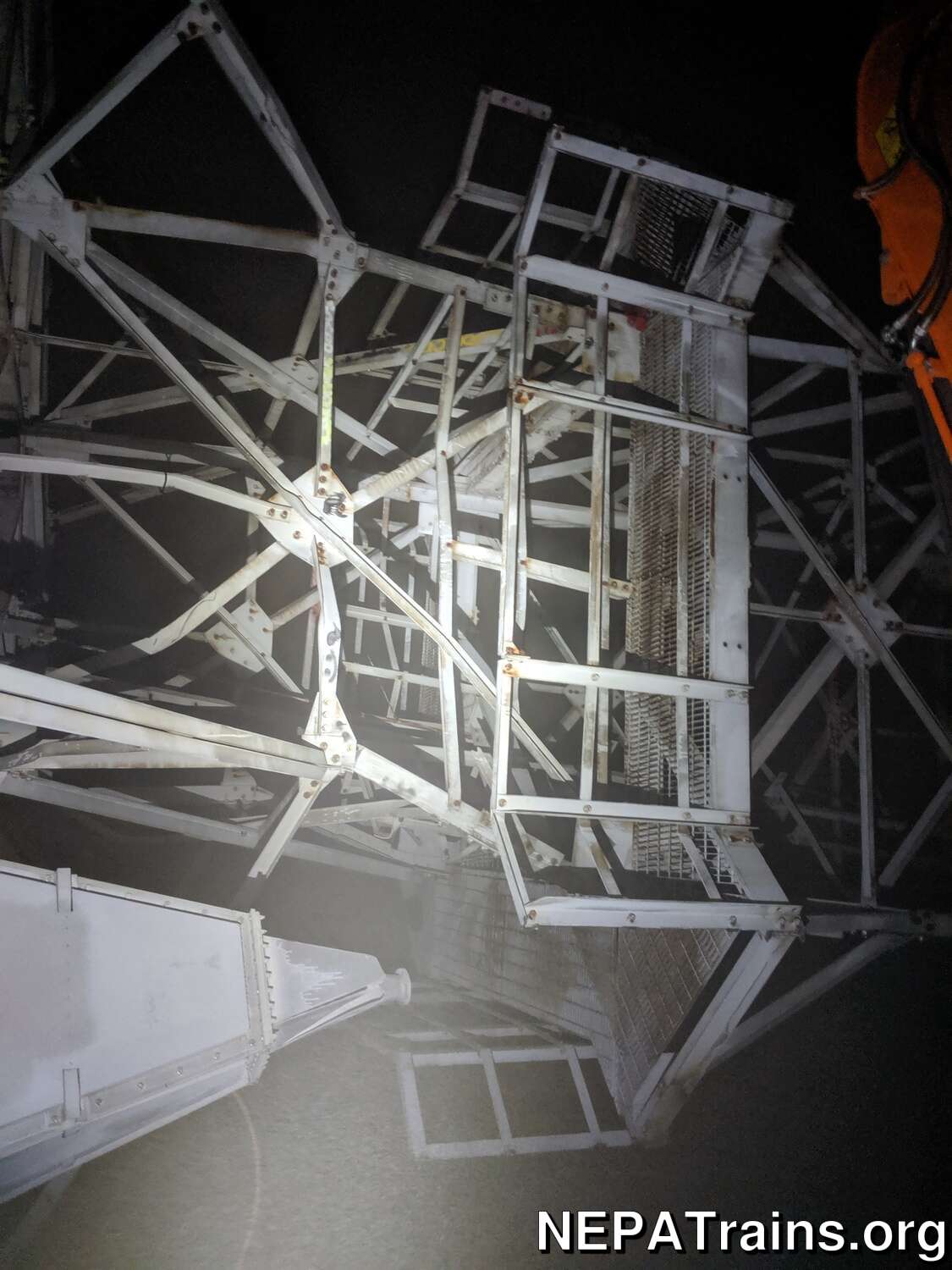
The midsection of the [[ Scranton Long Lines Tower ]] on its side. The steel is all mangled and twisted.
[more info]Scranton Long Lines Tower Tower on Ground 2
by NEPATrains.org - CC BY-SA 4.0
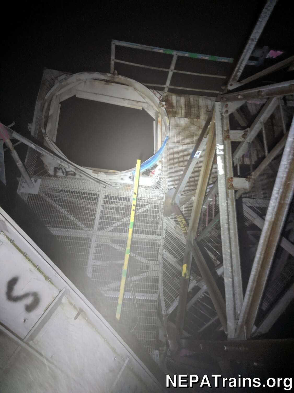
Another view of the toppled [[ Scranton Long Lines Tower ]].
[more info]Scranton Long Lines Tower Western Electric Antenna on Ground
by NEPATrains.org - CC BY-SA 4.0
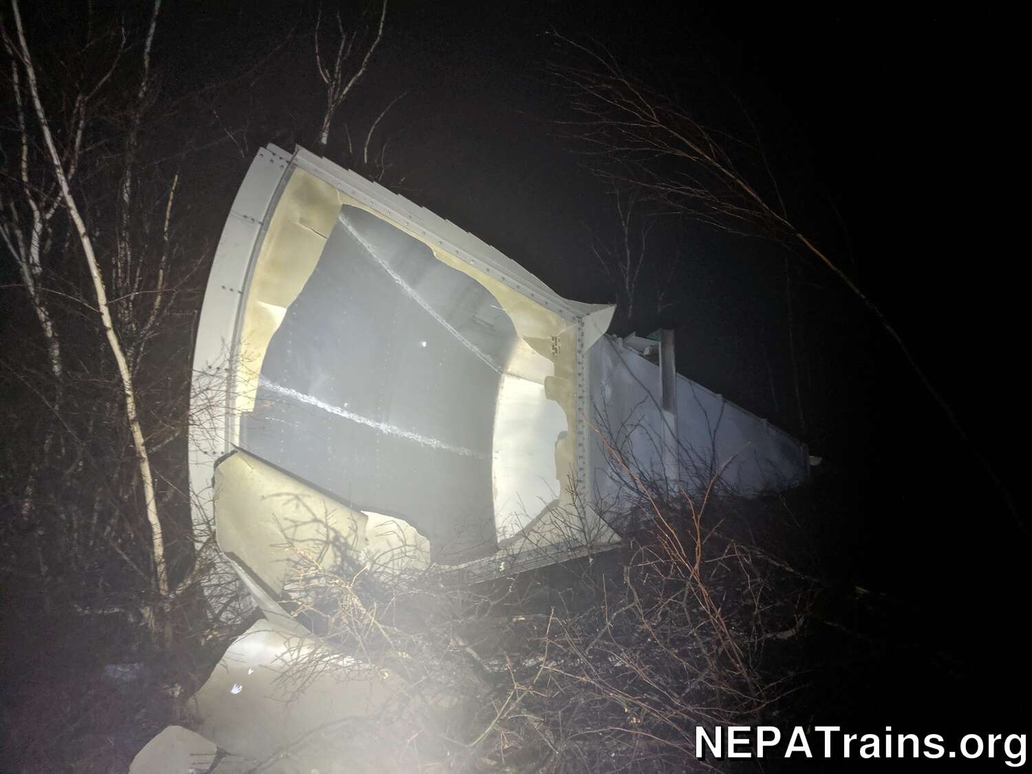
One of the Western Electric antennas on the ground at the [[ Scranton Long Lines Tower ]] demolition.
[more info]Sources
- https://www.govinfo.gov/content/pkg/FR-1974-01-18/pdf/FR-1974-01-18.pdf
- https://transition.fcc.gov/Bureaus/Wireless/Public_Notices/2000/pnwl0047.pdf
- Federal Register, Volume 39, Issues 242-252
- https://wireless2.fcc.gov/UlsApp/UlsSearch/license.jsp?licKey=988836
- https://www.historicaerials.com/viewer
- https://long-lines.com/map
